 Anyone who has come to Detroit Garden Works the past 15 years has probably dealt with Rob. He manages, buys, designs, arranges, and generally oversees the store. He does display, he pulls weeds, and waters. He arranges purchases from nurseries in Ohio, Tennessee, and Long Island, and every place in between. He buys for DGW all over the country, and in Europe. In recent years, he has made a concerted effort to shop our country. We two agree that every city, every region in our country, has people making beautiful work. We just need to find them. His latest purchase, custom made plant towers in a weather resistant acid washed finish that looks like lead. Many of them are his design, and they are being manufactured by a local ironworker.
[Read more…]
Auricula Primroses
 I garden in the winter, in one form or another. This past fall, on my mind were show auricula primroses. Their flowers are as beautiful as their forms are varied. The English exhibit alpine auriculas at competitions like we Americans show African violets, and matched topiary pairs at the Philly flower show. The English derive such joy from their gardening, and a dose of joy was what I was after. They even build staging for their auriculas in pots, known as auricula theatres. Wow. Only the English would find such drama in a series of little potted primroses, perfectly grown.
[Read more…]
What’s Precious
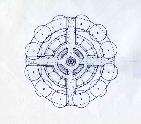
 Tools are useful. This does not mean they are precious. My landscape plans are a two-dimensional description of a sculpture which is to come. They are not an end in themselves. I go over them with my superintendent; we do a layout. That plan usually ends up in a lunchbox, a back pocket, or after it is irreparably wet and mud smeared, in the trash. They are a means by which to communicate.
 There are computer programs which help projects to get drawn quickly. I use them to draw very complicated structures. They are very useful in detailing changes to this and that-without having to redraw everything. But I am most interested in the evidence of the human hand. I draw by hand, as that drawing is part of a process which is distinctly my process. My clients find out that as I respect the evidence of my hand, I have the ability to respect theirs as well.
Design Tools

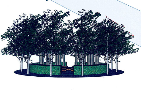
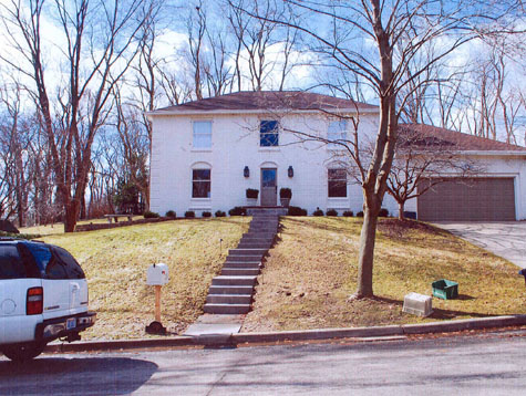
 As important a tool as geometry is my Nikon D-60 digital camera. I could not overestimate the impact this tool has had on my design work. I take endless panoramic pictures of projects. The house, the land, the placement of trees, the views out the windows-I take many more pictures than what I could possibly need, as they are as easy to get rid of as they are to keep. The camera is a single-eyed machine. The printed pictures come with edges; what I photograph is a composition. It records what we have become accustomed to, and don’t see anymore-like the trash cans on the terrace.
My clients are sometimes surprised by these pictures; the camera enables them to take a step back from what they think they have, and see with some detachment. A landscape designer I worked for many years ago was fond of saying “the plants don’t lie”. A client who insisted they were not overwatering their landscape would be gently reminded that the plants will tell you what’s not being done properly; you only need to listen. The camera is a party to the design process with no agenda. It can help you see what’s there, and it can help you understand what’s being proposed.
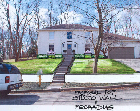
I sometimes draw on these photographs for clients who have trouble visualizing from a drawing. I am very used to drawings, but why should they be? Interested in what furniture would look great on your terrace, or which pots would work at your front door? Bring your pictures.